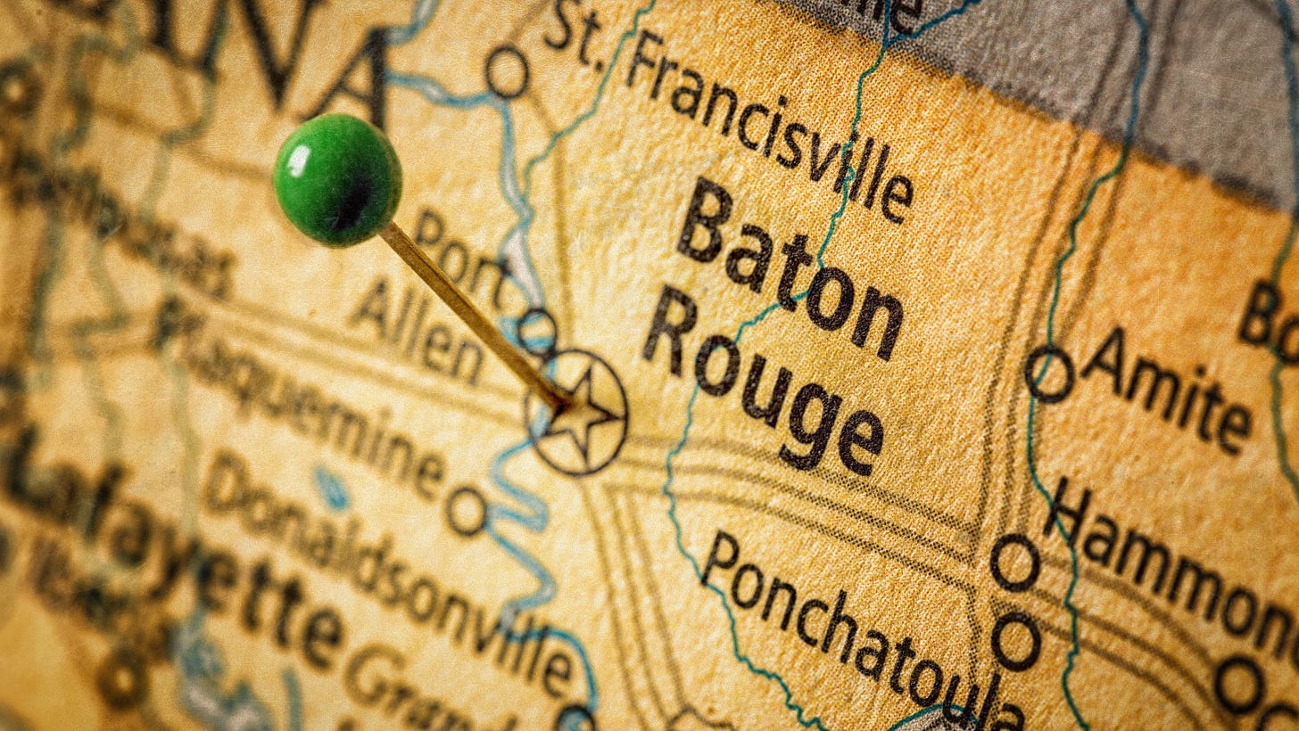
When discussing the history of Baton Rouge, I often tell folks that it’s best to think of the city as a timeline that starts at the river and ends at the parish line. Imagine that every mile you travel away from the river adds a decade, or more, to the timeline.
The recorded history of the area begins on March 17, 1699. Pierre Le Moyne d’Iberville, a Canadian explorer and soldier, who set out to explore the lower Mississippi River valley. During his first expedition, he encountered the local native tribes and was shown the ceremonial pole that divided the hunting grounds of the Houma and Bayougoula tribes.
The cypress pole was adorned with the heads of fish and bears and was called Istrouma by the locals. The word was translated to “red stick,” which translates to “baton rouge” in French. d’Iberville recorded this in his journals and letters and the name stuck.
The Bayougoula tribe was a small, Muskegon tribe that are considered the relatives of the Choctaw. Their name means “river people” in Choctaw. The tribe no longer exists because the few remaining members were absorbed by the Houma tribe. They were wiped out by disease and war.
The Houma tribe remains in existence today. The first mention of the tribe was in 1682 by Rene-Robert Cavelier, sieur de La Salle, who is credited with giving the state its name. He first mentioned the “Oumas” village.
Remnants of tribal history are scarce. The mounds around LSU are perhaps the most famous, and are believed to be older than the Egyptian pyramids. Another mound located around the state capitol is less known and is topped with a cannon.
The Bayougoula tribe used mounds as the foundation for the important structures of the village. The chief’s house would have been one of those structures. It would have also served as the temple, which would have housed an eternal flame.
Mounds were also used for platforms to elevate the dead. Bodies would not have been buried due to the swampy condition of the land. They would elevate the body until decomposition was complete and then the bones would have been placed in a “bone house.”
We don’t know if either of those tribes were using those particular mounds. In fact, there’s a debate raging over the exact age of the mounds located around LSU.
RELATED: LSU mounds could be oldest human-made structure, but peer review necessary, professor says
The lack of historical records is why so much of American history is told from the perspective of the colonizers. For the history of Baton Rouge, that included three different countries to produce what was considered a “metropolitan” population.
The French are our first colonizers and after giving us our name, they gave us our first European settlement in 1721 in the form of a military trading post.
Next up were the British, who took over the little colony in 1755, but soon lost control during the American Revolution in 1779. The Spanish maintained control through 1802 when they returned it to France for a few months until the Louisiana Purchase, which was finalized in 1803.
A couple years later, the first neighborhood was built and was named Spanish Town. This goal was to build housing for Spanish families in an attempt to have them defend the fort. It worked! Not long after the second neighborhood, Beauregard Town was constructed, its foundation was based on French architecture.
By 1817, Baton Rouge was officially made part of the colonies. The bustling city was growing quickly and was named the official capital of the state. In 1847, construction began on what we lovingly call the Old State Capitol. It was not so lovingly called the “castle” by Mark Twain. But that’s a different story for a different day.
The land for the capitol building was provided by Judge Thomas Gibbs Morgan (no relation, dangit) because it sat on a high spot of a natural levee.
It wasn’t long before the then newly constructed state capitol was overrun by Union troops during the Civil War. A fire broke out and all that was left of the building was its exterior walls. It was reconstructed and remained the capital building until Huey Long erected a new building in 1931.
As for the rest of the city, the reconstruction era brought with it some big changes. Recently freed enslaved people left what was considered the countryside to live in the city, many of whom settled in the Spanish Town neighborhood. Much of that part of town was in ruins due to the battle fought during the war.
The outer limit of the city was expanding, too. Main Street extended out beyond the the railroad tracks, so businesses began occupying the areas to reach the growing population. The area became the Restricted District.
In 1907, Goudchaux store opened its doors in the 1700 block of Main Street. It would later become an icon of the city after it was purchased by Erich Sternberg in the 1930s.
RELATED: The American dream that Germany built
In 1909, the first true push for a population boom happened when Standard Oil decided to open its refinery in the northern portion of the city. Today, we know it as Exxon and its modern facility is the largest manufacturing employer in the state.
Over the next two decades, the city expanded in size even during WWI. The Garden District began construction and the bayous were turned into lakes.
RELATED: The true cost of transforming a swamp into a lake
In 1928, the man who would make some of the biggest changes to the city was elected governor. We’ll begin part two of this tour with Huey P. Long and continue through the 1980s.
Resources used for this article
http://www.native-languages.org/bayougoula.htm
http://www.acadiansingray.com/photo%20gallery-historical_names-west.htm
https://64parishes.org/entry/rene-robert-cavelier-sieur-de-la-salle/
https://www.lsu.edu/mediacenter/news/2018/04/24campusmounds_2018.php


That was wonderful. Thanks for the history lesson.